|
| *****SWAAG_ID***** | 633 |
| Date Entered | 02/11/2012 |
| Updated on | 02/11/2012 |
| Recorded by | Tim Laurie |
| Category | Mining Related |
| Record Type | Mining |
| Site Access | Public Access Land |
| Record Date | 01/11/2012 |
| Location | Cronkley Fell, White Force |
| Civil Parish | Holwick |
| Brit. National Grid | NY 8528 2808 |
| Altitude | 430m |
| Geology | Metamorphosed limestone strata immediately below the Whin Cill. |
| Record Name | The White Force Mine and ruined Mine Shop. |
| Record Description | Mine entrance level,extensive mine spoil heaps and ruined building nearby interpreted as the mine shop. |
| Dimensions | See photos |
| Additional Notes | The well preserved entrance to the mine level has been closed by a metal gate. The ruined mine shop has recently been allowed to fall into a ruinous state following removal of the roof slates. The mining landscapes of Teeesdale are extensive, sometimes remote and well worth the walks necessary in visiting. |
| Image 1 ID | 3571 Click image to enlarge |
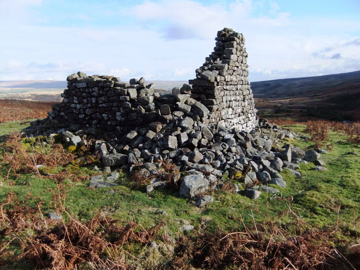
| Image 1 Description | The ruined mine shop. Noon Hill in the background. | 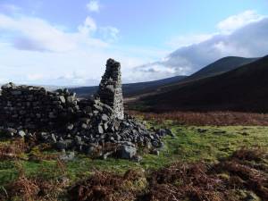 |
| Image 2 ID | 3572 Click image to enlarge |
| Image 2 Description | The ruined mine shop. | 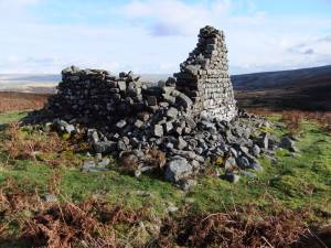 |
| Image 3 ID | 3573 Click image to enlarge |
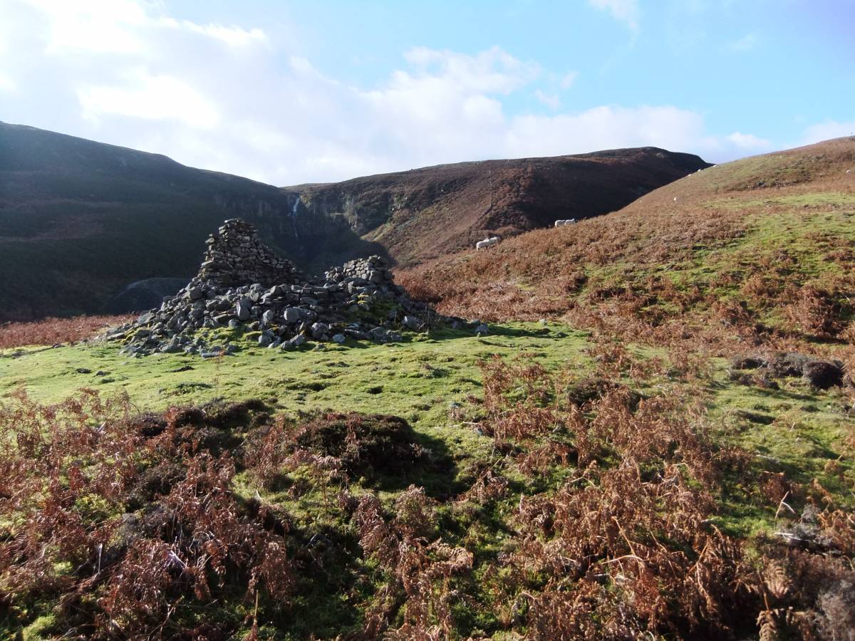
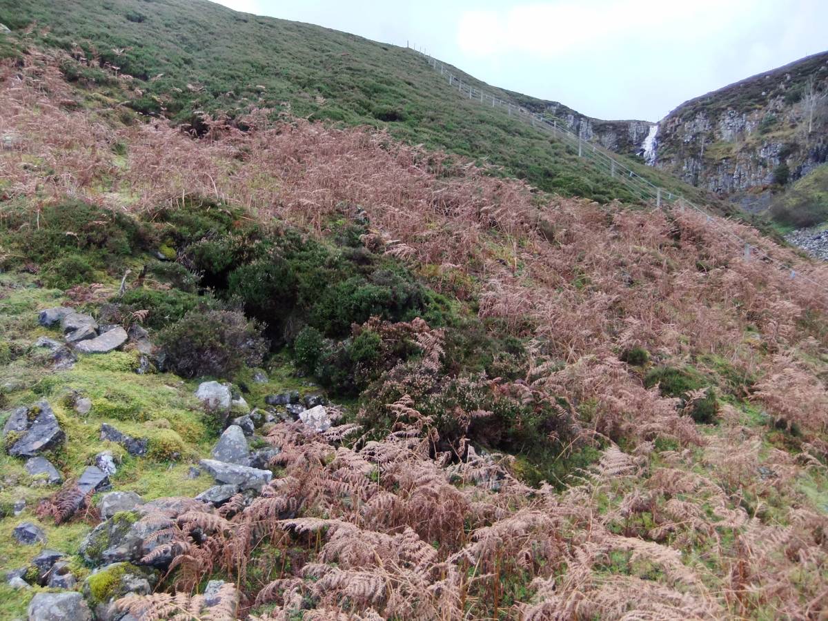
| Image 3 Description | THe mine and White Force from the Mine Shop. |  |
| Image 4 ID | 3574 Click image to enlarge |
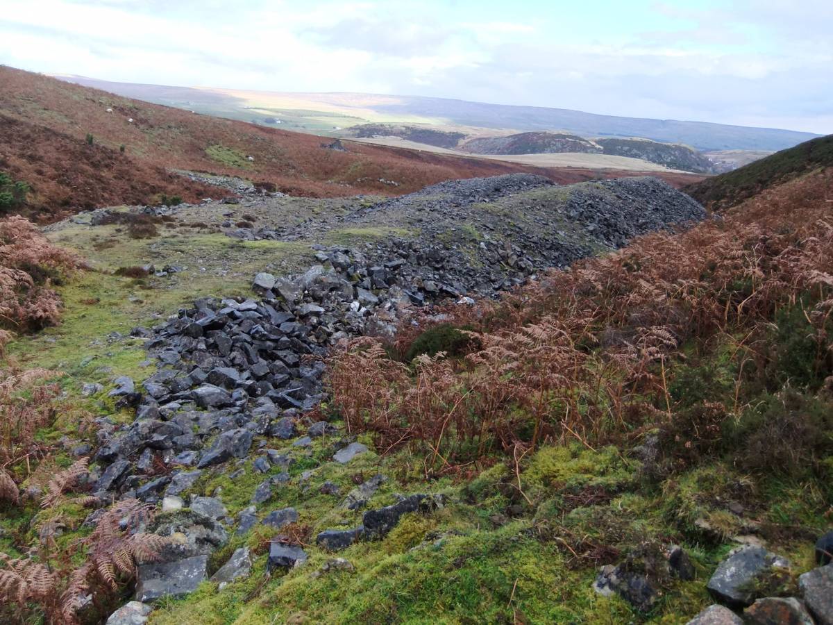
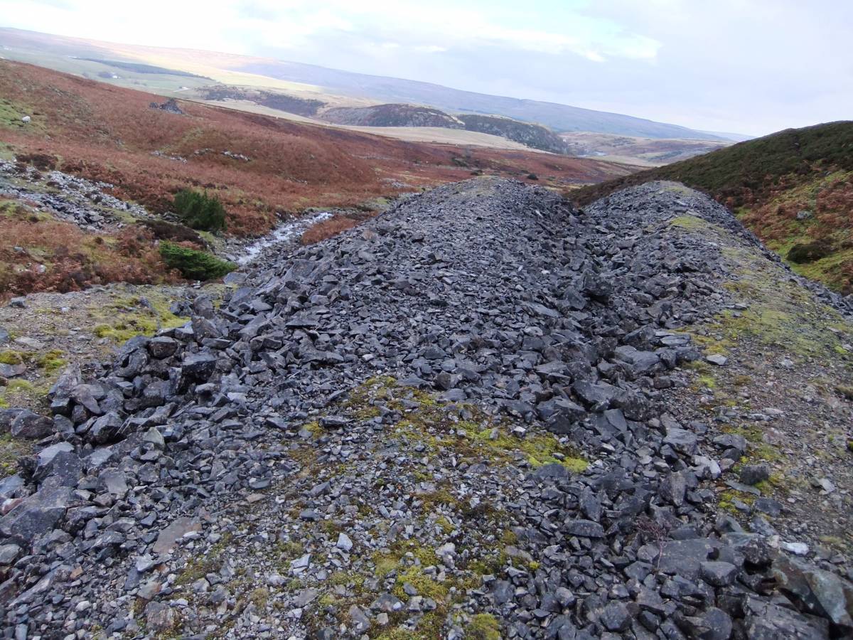
| Image 4 Description | The mine spoil heaps. |  |
| Image 5 ID | 3575 Click image to enlarge |
| Image 5 Description | The mine entrance. |  |
| Image 6 ID | 3576 Click image to enlarge |
| Image 6 Description | The mine entrance. | 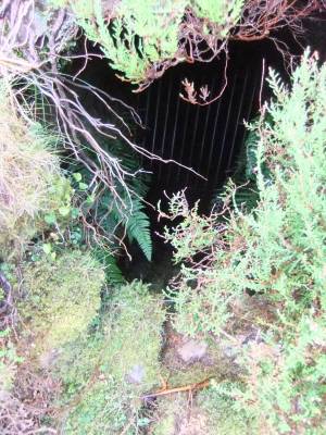 |
| Image 7 ID | 3577 Click image to enlarge |
| Image 7 Description | The gated level entrance | 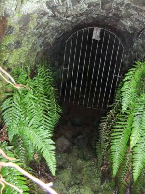 |
| Image 8 ID | 3578 Click image to enlarge |
| Image 8 Description | The spoil heaps | 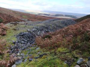 |
| Image 9 ID | 3579 Click image to enlarge |
| Image 9 Description | | 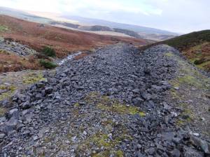 |